
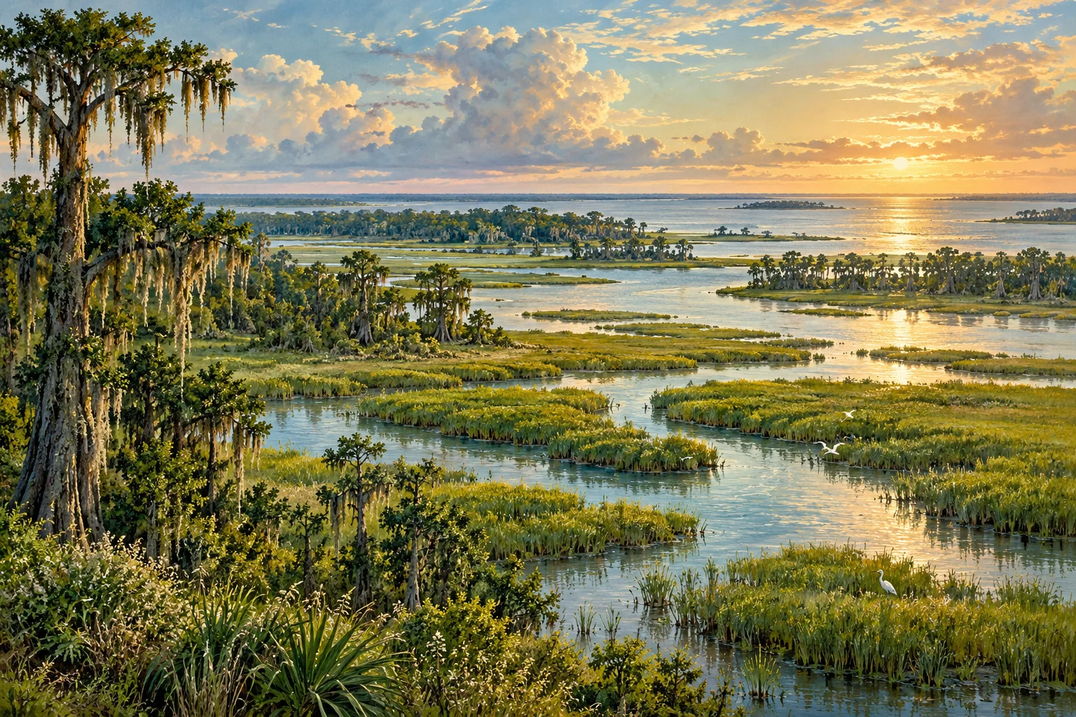
Wetlands are places where water covers the land or keeps the ground wet for part or all of the time. Along Louisiana's coast, they include grassy marshes and wooded swamps connected with ponds, channels and bays.
These places give fish, birds and other animals somewhere to feed, shelter and grow. That living setting is called a habitat. You can start noticing it during a short shoreline visit, without knowing every plant or carrying a scientific instrument.
Marsh, swamp and estuary mean different things
A marsh has mostly plants such as grasses and reeds. A swamp has trees. An estuary is a coastal area where fresh water and seawater mix; it can contain several kinds of habitat.
The words answer different questions. Marsh and swamp describe the broad plant setting; estuary describes the mixing-water setting. A visit can involve more than one label, so don't treat them as three mutually exclusive destinations or assume a label tells you the whole route.
A bay is an area of water along the coast. A drain is a connection through which water moves between parts of the marsh. A tree-lined channel, grassy shoreline and broad bay give you different things to look at, even when they're close together.
Water can be fresh, salty or a mixture called brackish. The brackish-water introduction explains how that mixture changes. Green coloring on a map doesn't tell you the saltiness, depth or plants at a particular edge.
Try reading one shoreline
From a permitted path, bank or stable boat position, pick a small area and notice:
- Whether the plants are grasses, trees or a mixture.
- Where the land ends and open water begins.
- Whether a small channel connects to a pond or bay.
- Any bird, fish or other animal activity you can see.
Keep a usable place, observation date and time with a plain description, such as ‘grassy edge with a narrow opening and birds walking in shallow water.’ Separate plants, visible water boundary, connection and animal activity from a species name or guessed cause for muddy water. Unseen bottom shape, depth and salinity stay unknown.
On another visit, compare that same edge and identify the dates of both views. Record the visible difference before proposing a cause. One changed patch is not a measurement of change across the whole marsh, and a visit with no animal seen is not a complete habitat inventory. The note is still useful without identifying every plant or bird.
An edge is a boundary, such as grass meeting open water. If fishing, have the actual feature, bait or lure path, movement and return explained before a cast. Keep the landing point and later line path separate from fish-position evidence. The reading-water guide teaches those comparisons. Observation can also be the whole activity; habitat gives you something to investigate, not a fish beside every plant.
Why the shoreline changes
Waves, storms, water movement and changes in land level can reshape the coast. Sediment is material such as sand, silt and mud carried or deposited by water.
Louisiana's coastal restoration agency explains the interacting pressures on this landscape. An older photograph and today's shoreline can look different without one simple cause explaining the whole change.
Keep the source area, image or measurement dates and kind of evidence with a coastal-change explanation. A project's publication date is not necessarily the date of the landscape shown. Comparing two unmatched places or dates doesn't establish one local cause.
Keep navigation information current too. A remembered opening may have changed; a habitat article or old project picture isn't a boat route. Shoreline appearance, safe operating conditions and permission to enter or land remain separate questions.
What does restoration do?
Restoration means work intended to repair or improve a habitat or its natural processes. A project may build marsh or change how water and sediment move through an area.
Read a project in stages, keeping the named area, source and dates with each:
- Proposal: what is intended, why and for which area.
- Construction: what work is reported as done and when.
- Observed results: what was measured or documented afterward, where and over what period.
A completed construction report doesn't by itself supply measured habitat improvement. Ask which result supports the stated benefit and whether it applies to the particular place and time being discussed. If follow-up evidence isn't supplied, leave that result unanswered rather than turn an intended benefit into an observed one.
Permission to visit is a separate question for the responsible site manager. A project outline, completed works or catch photograph doesn't establish public access or improved fishing at your position.
For a first visit, choose a particular public observation area and check its manager, permitted activity, entrance, approach, hours and relevant notices. Plan walking or boat participation, seats or breaks, personal and shared supplies and the complete return for everyone coming. An alternative route needs its own access and facilities checked.
Keep a small record of visible habitat, animal activity or uncertain identity, one change if comparing visits, and the next question. Leave the place as you found it and complete the agreed cleanup. Watching one edge and learning what its features mean is a useful result even without a cast or wildlife sighting.