Water depth
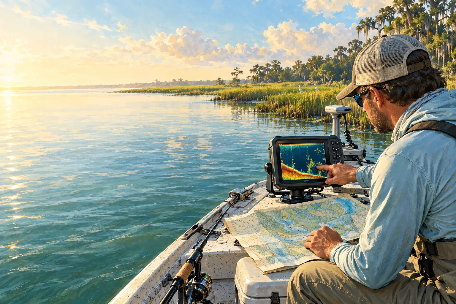
Depth is a distance down to the bottom from a stated starting point. A chart is a water map whose depth numbers use its stated reference water level. A depth sounder measures with sound below its sensor, and its display may be adjusted to another starting point. Retain the chart notes or device setting; converting feet to meters does not change where the distance starts.
Tide height
Tides are the coastal water’s rise and fall. A tide height is a water level relative to a named zero, called a datum. Keep the station, whether the value is predicted or observed, its time and that reference level. Converting its units preserves that reference; it does not supply the bottom’s position beneath a boat.
River stage
A river gauge measures water height at a station. Its stage is height relative to the station’s set zero. For an illustrative 10-foot stage, converting to meters still describes height from that gauge zero, not a 10-foot-deep river. Keep the station and measurement time rather than applying the value to every fishing position.
For a useful note, write the source value and unit, what it measures, its place and time, and the reference point. Then add the conversion if needed. Two readings both labeled “feet” still need compatible meanings and reference levels before they can be compared or combined.
This converter accepts zero and positive values. Some water-level products use signed values below their reference zero; do not remove a minus sign to fit this form. Use the source’s explanation for those values. The converter does not calculate route clearance, water beneath a hull or where fish are holding.
A fathom is six feet, and one foot is exactly 0.3048 meters. Results display two decimal places; the extra decimal digits do not make a rounded or uncertain source reading more precise. Keep the original value and unit if you need to convert again rather than repeatedly copying the rounded result.